

La Crosse, Wisconsin is a beautiful anomaly. Bordered by magnificent bluffs along the Mississippi River in the unglaciated “driftless” region, the valley cut by erosion was spared the leveling effect of the last Ice Age that flattened the surrounding countryside. If you have never driven across the Mississippi River, or even if you have seen the Mississippi many times, La Crosse is THEE place to make that crossing in the Upper Midwest. Seen from the bridges that span the Mississippi and its tributary the Black River, the view is outstanding.
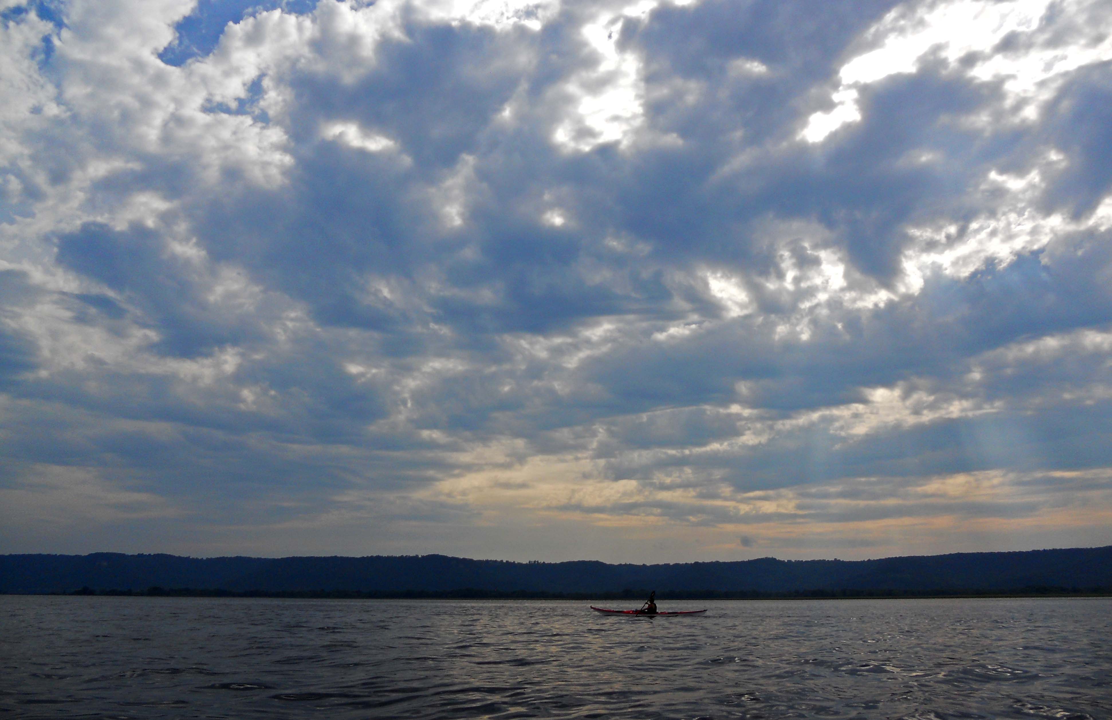
But to truly appreciate all the beauty of the Mighty Mississippi and the islands that dot the wide river valley near La Crosse, you really should be at water level. In a kayak.

 In 2007 we kayaked the canoe trail around Goose Island south of La Crosse. That excursion along the well-marked water trail was a fun way to experience the Mississippi’s back waters.
This past Saturday we returned to La Crosse and paddled around islands north of the city.
As we padded, I imagined campfires of the Oneota. Their stories, passed from tribal ancestors to generations of descendants, tell of smoke from hundreds of campfires in small villages dotting the bluffs on both sides of this magnificent valley.
I also pictured steamboats plying these waters before the introduction of dams and locks to tame the river.
Today, locomotives rumble through the valley at regular intervals, pulling mile-long trains bound for some distant place on the other side of the river. Their wailing echo reminds that it was the railroads who rendered the steamboats obsolete.
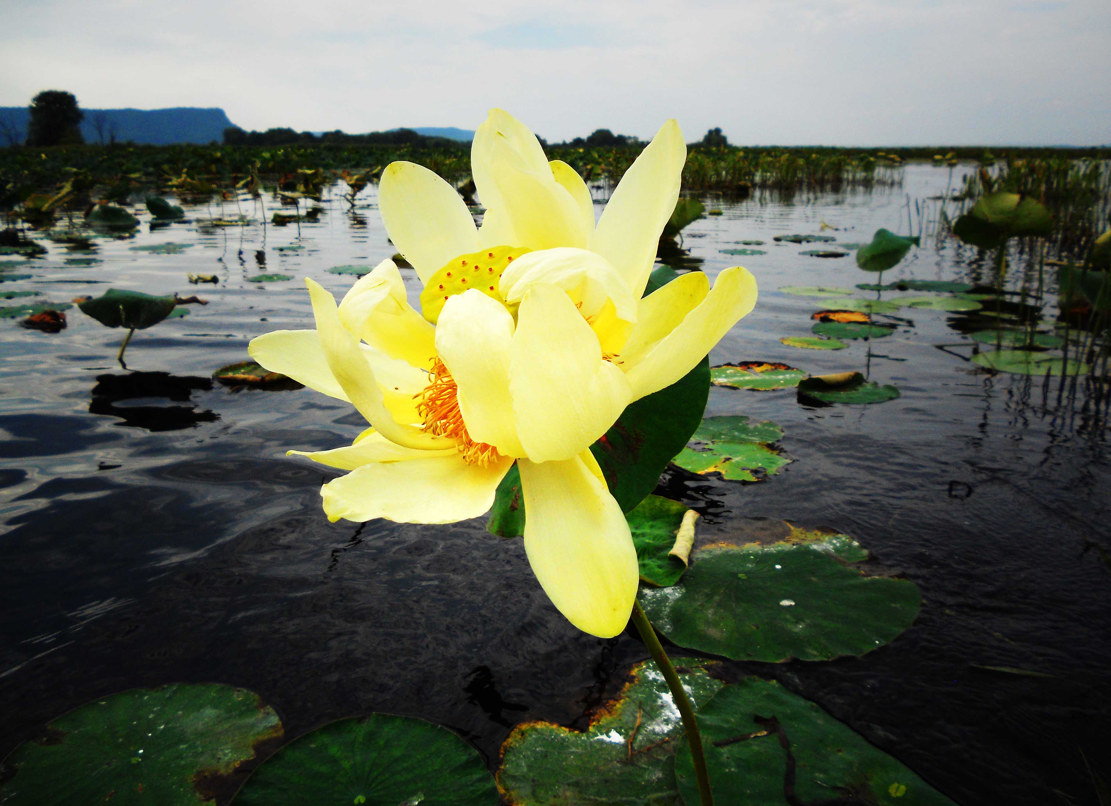
After sharing the main navigation channel with power boaters, we enjoyed escaping to another time and place; the shallow causeways between islands and marshlands where only kayakers and waterfowl go.

